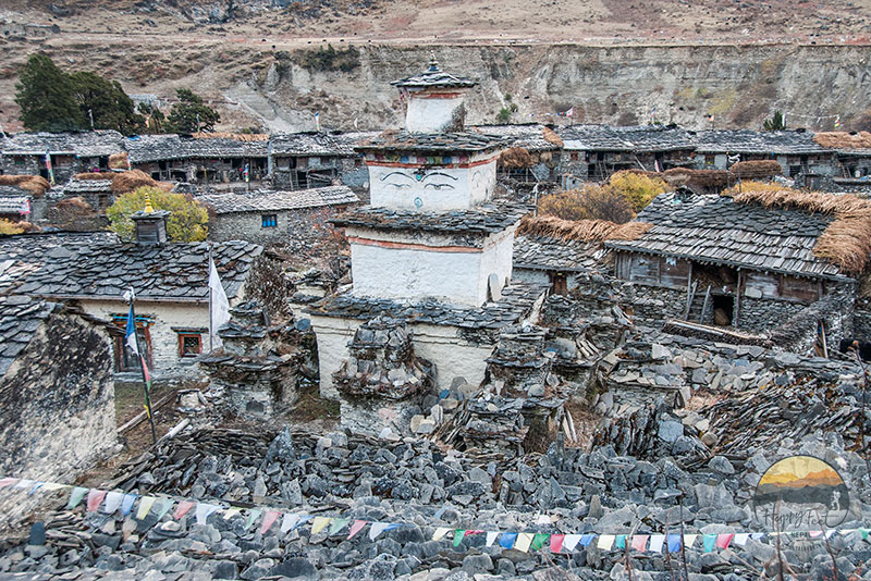
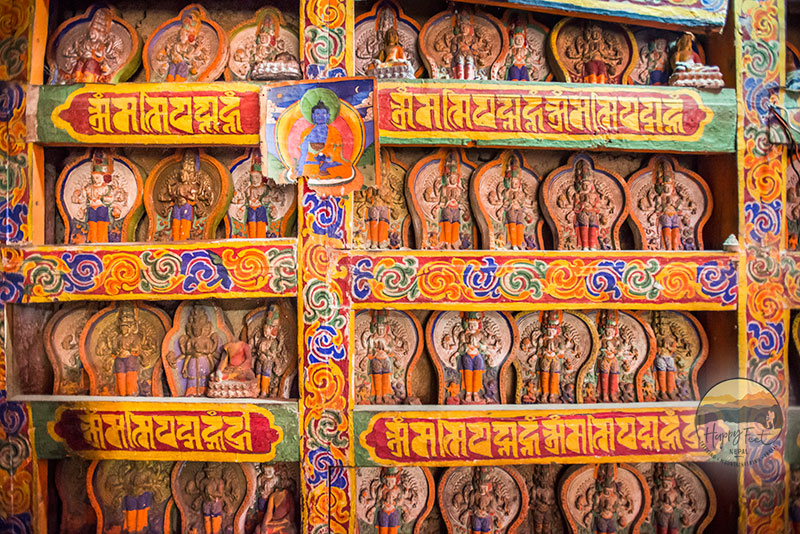
About Tsum and Manaslu Circuit Trek
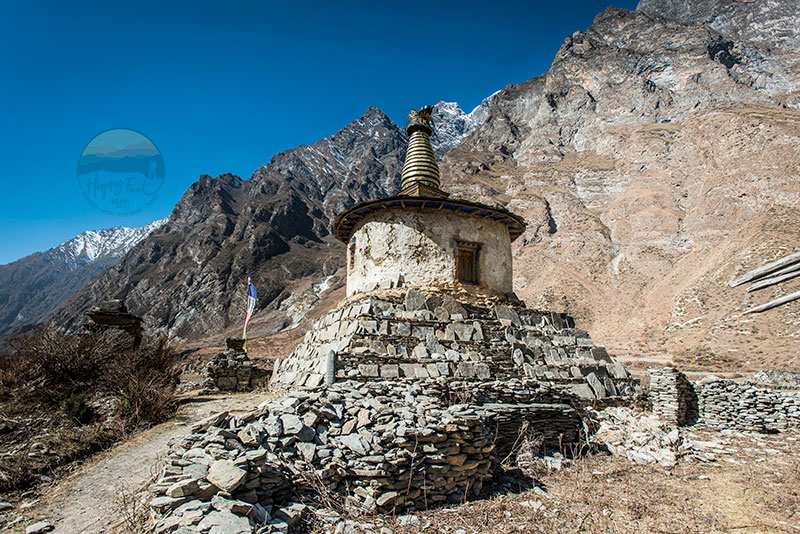
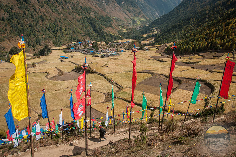
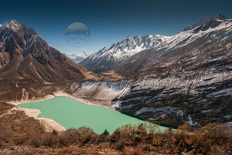
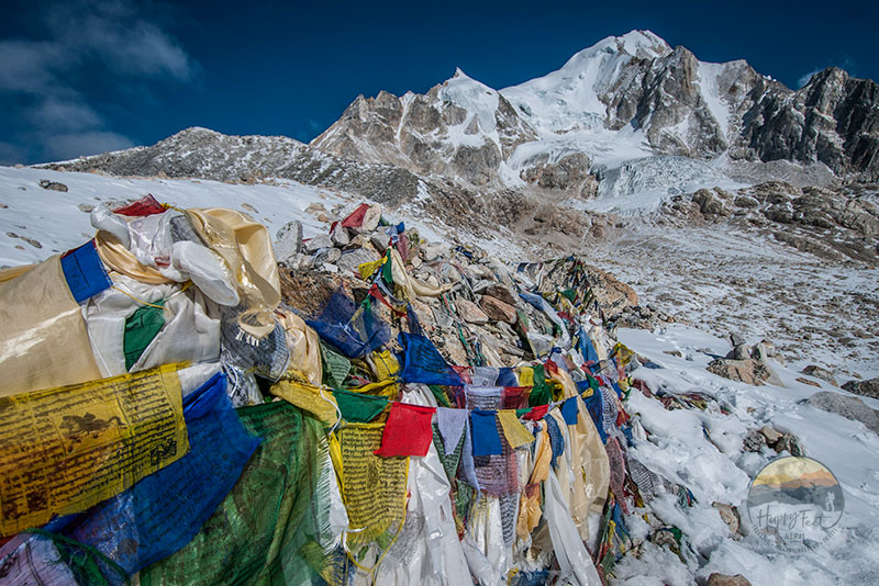
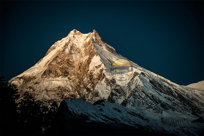
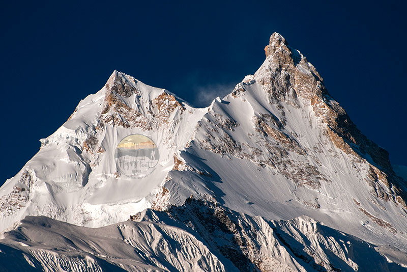
This extraordinary journey to Tsum Valley and the Manaslu Circuit, including an excursion to Ganesh Hima Base Camp, offers the opportunity to explore some of the last remaining Shangri-la in the shades of Ganesh, Sringi, Manaslu and Annapurna Mountains. The Tsum Valley, also known as the Valley of Happiness, is filled with natural beauty and a rich cultural heritage. It provides a rare glimpse into ancient Buddhist traditions and a life largely untouched by modernity. This unique cultural experience, with its ancient Buddhist traditions and a way of life largely untouched by modernity, is sure to intrigue and inspire all who are on this journey.
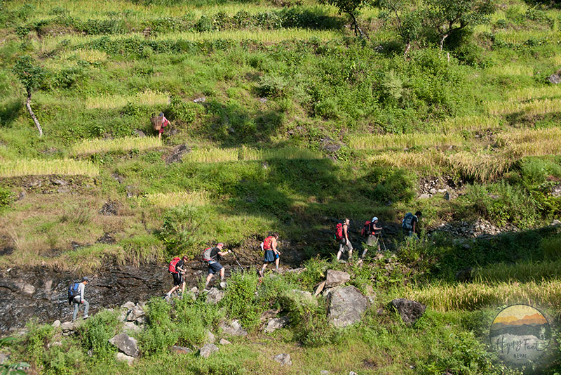
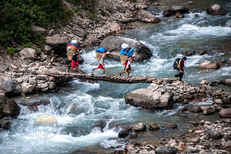
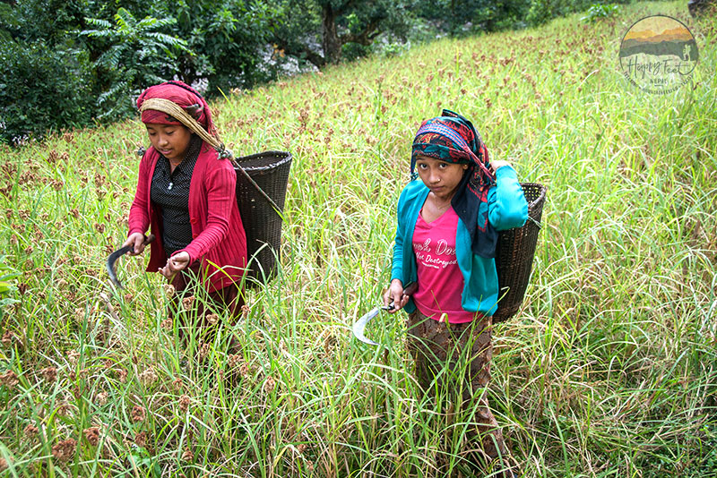
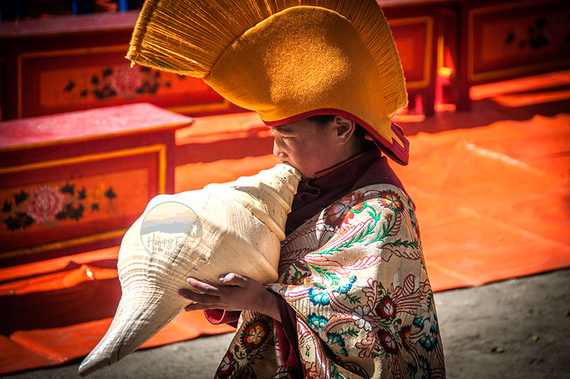
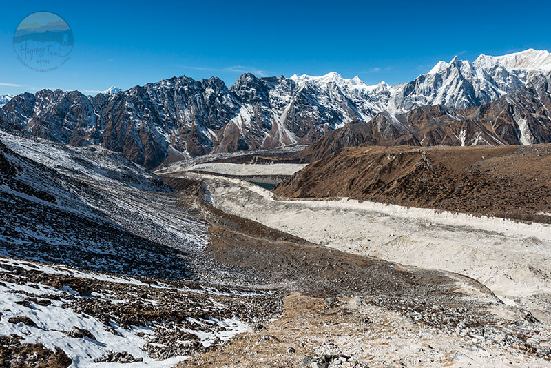
Tsum Valley and Manaslu Circuit Trekking takes you through enchanting woodlands and stark high-altitude terrain, presenting breathtaking views of the majestic Manaslu, Ganesh Himal, and the Annapurna range. As you traverse this least-visited area, you will experience the warmth of local cultures, shaped by a blend of Hindu (in the lower valleys) and Buddhist influences, from the spirited Magar communities to humble Gurung and Tsumba tribes. You will have the opportunity to participate in local festivals, witness traditional ceremonies, and learn about the customs and traditions of these communities. The variety of trekking experiences, from enchanting woodlands to stark high-altitude terrain, will surely excite and inspire the adventurous spirit in you.
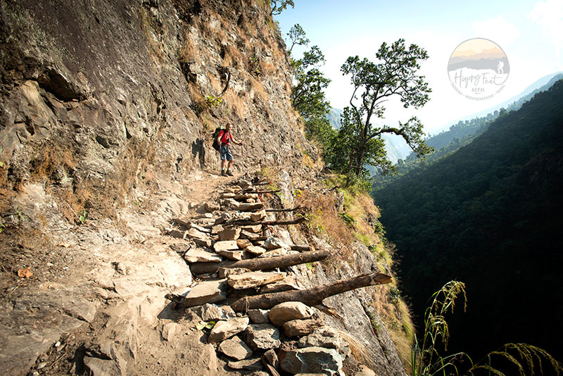
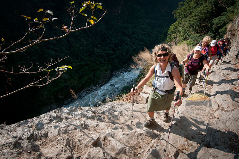
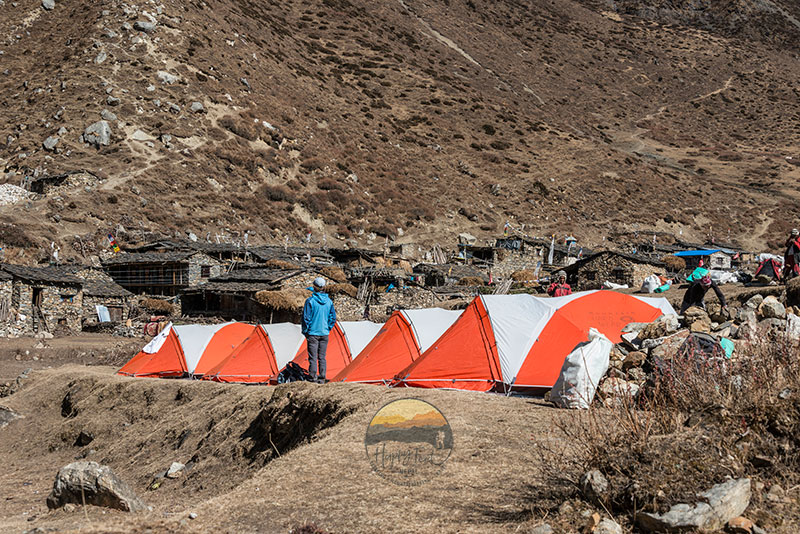
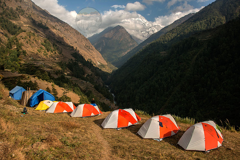
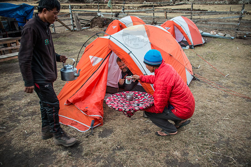
Throughout the trekking, participants can expect a different range of daily walks, averaging between 4 to 8 hours, accommodating various levels of trekking experience. The trekking encompasses diverse terrains, culminating with a climb to the Larke La Pass at 5,135 meters, the highest point of the trek, with grand vistas of Himalayan Peaks, including the Annapurna Range. Lodging options are comfortable hotels in Kathmandu and typical local lodges along the trek, each offering an authentic taste of Nepalese and Tibetan hospitality. These lodging options, designed in their cultural flow, provide a comfortable and relaxing stay, ensuring you feel at ease and well taken care of.
The Tsum Valley and Manaslu Circuit Trekking is a year-round destination, but the ideal times are spring and autumn when the weather allows for crystal-clear vistas all day and night, and spring brings the blossoming rhododendrons. The summer offers the vibrancy of lush highland meadows, green fields and many lively villages. With a trip duration of 267days, this expedition promises a blend of cultural immersion and unparalleled natural beauty, making it a trek to remember long after you return home.