About Upper Dolpo Trek
The Upper Dolpo Trek is an adventurous yet charming journey into the culturally vibrant yet geographically remote Wild West Region of Nepal. Situated hidden in the high Himalayan desert valleys, Upper Dolpo provides an extraordinary experience for adventurous souls eager to discover pristine landscapes and the ancient Tibetan Buddhist culture largely unaffected by modern influences.
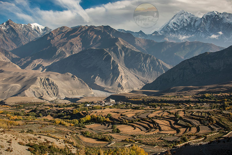
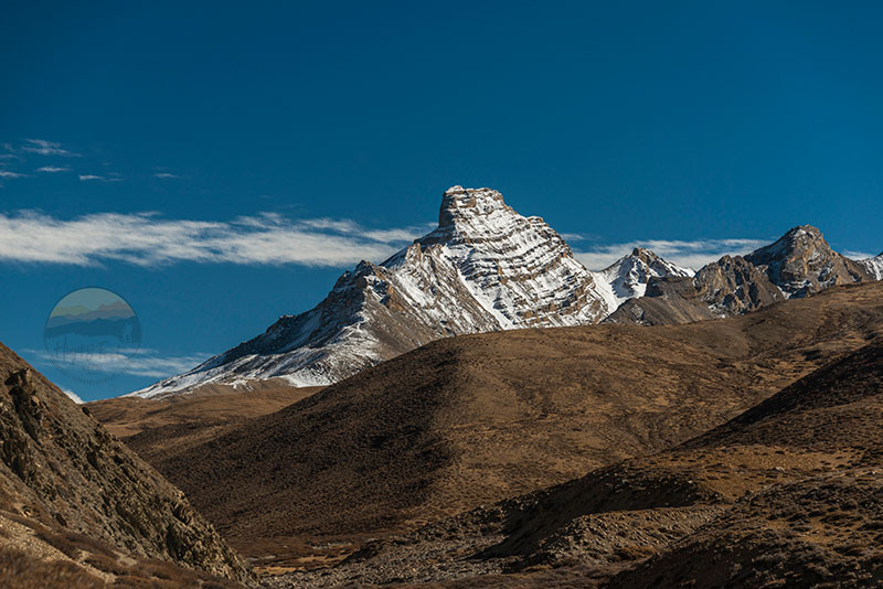
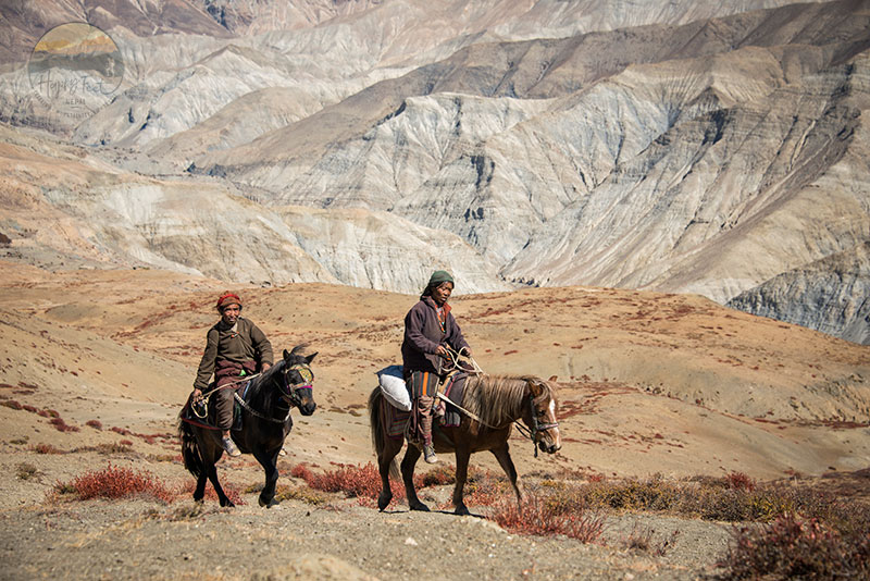
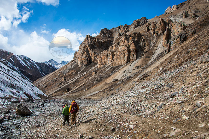
As the trekkers approach the heart of Upper Dolpo, they are greeted by stunning vistas made of rugged mountains, deep valleys, and pristine lakes. The topography of Dolpo features unique and dramatic cliffs and high-altitude passes that challenge even seasoned trekkers while rewarding them with breathtaking panoramas at every turn.
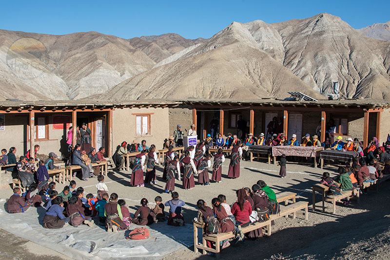
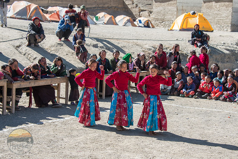
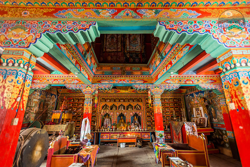
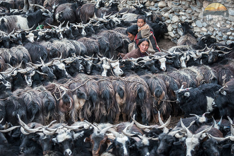
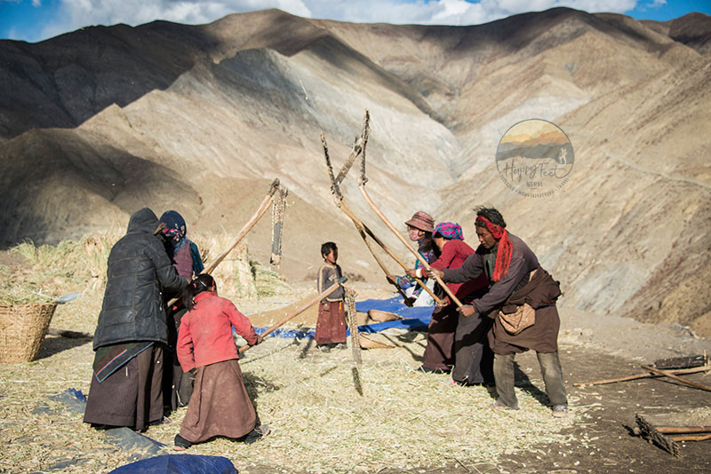
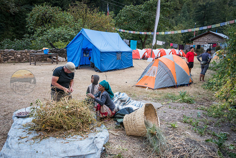
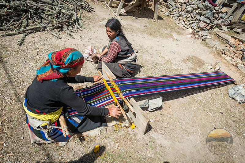
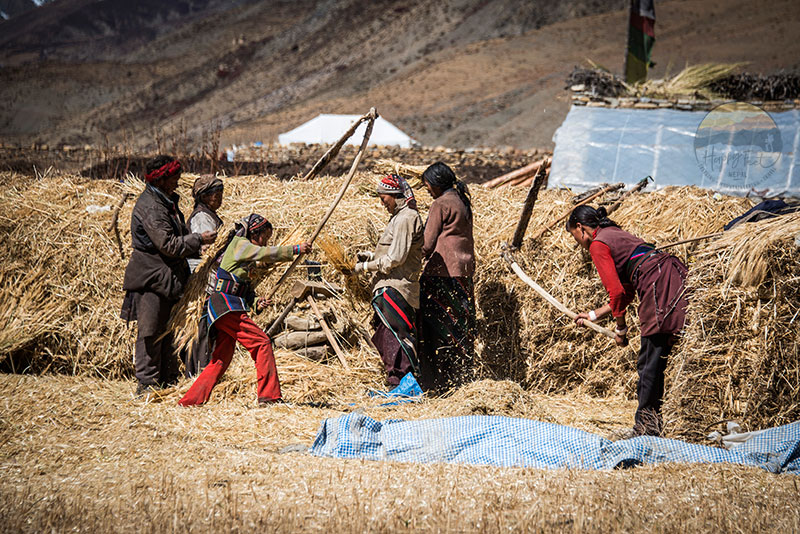
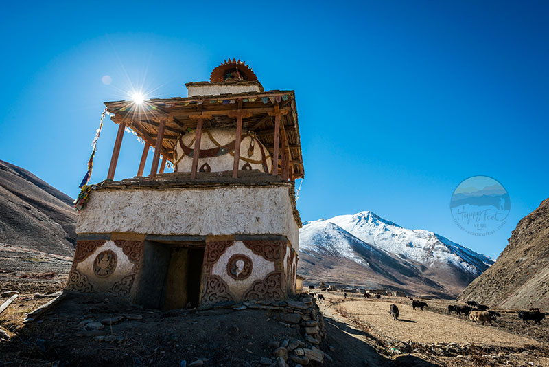
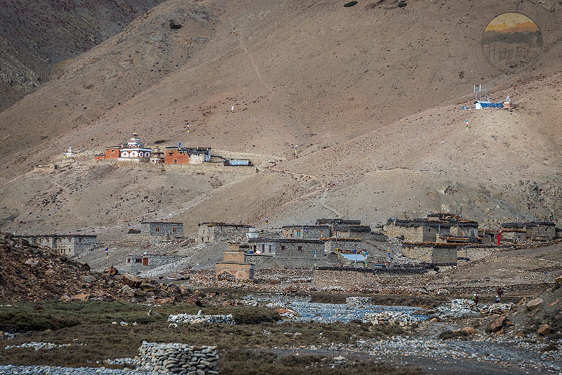
Upper Dolpo is also renowned for its rich cultural heritage. The Dolpo region is home to various ethnic groups, but the inner Dolpo is primarily the home of pure Tibetans following Mahayana Tibetan Buddhism. The followers maintain their traditional way of life largely unaffected by modern influences. Trekkers who manage to come here can visit ancient monasteries like Shey Gompa and interact with local communities, gaining insights into their customs, festivals, and spiritual practices, which you will find in every act and moment of their daily lives.
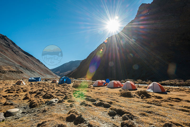
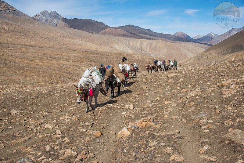
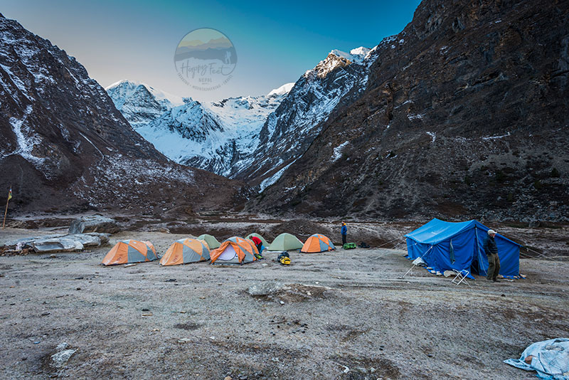
The altitude of Upper Dolpo often exceeds 5,000 meters, which forces the trekkers to undergo proper acclimatization and physical fitness. But such acclimatizing days are in localities with beautiful nature and things to visit. Most trekking itineraries span around three weeks, allowing ample time for exploration and adjustment to the elevation.
The Upper Dolpo Journey Begins
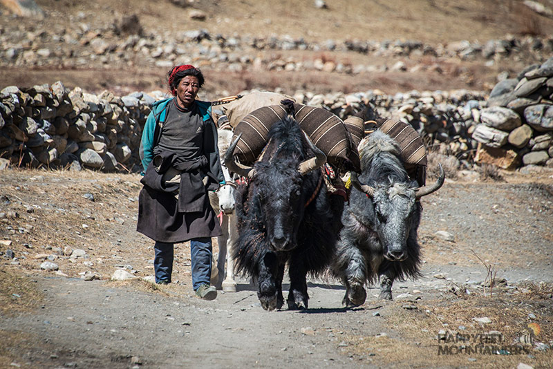
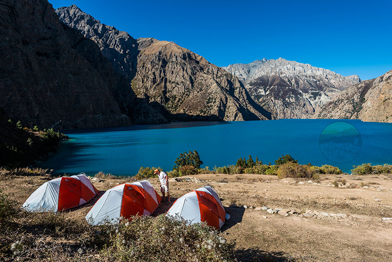
The easiest way to reach this destination is to take a flight from Kathmandu to Nepalgunj and another scenic flight to Jhupal Airport. The trek starts from Juphal, then passes through the vast Thuli Beri river gorge, past many farms and forested areas, to reach scenic emerald-coloured Phoksundo Lake, also known as Ringmo, the village’s name on the shore of Lake Phoksundo.
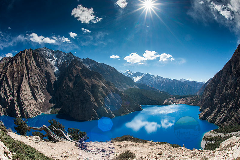
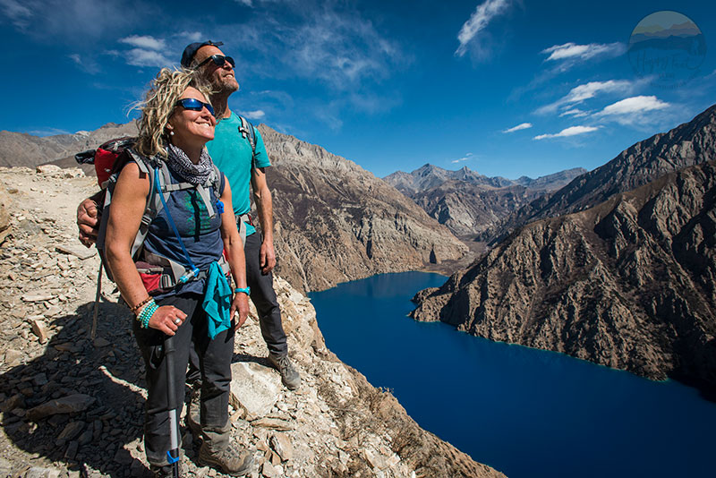
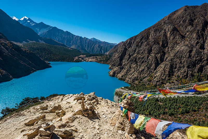
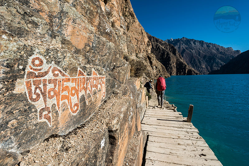
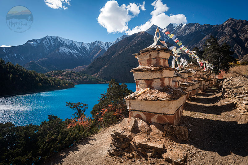
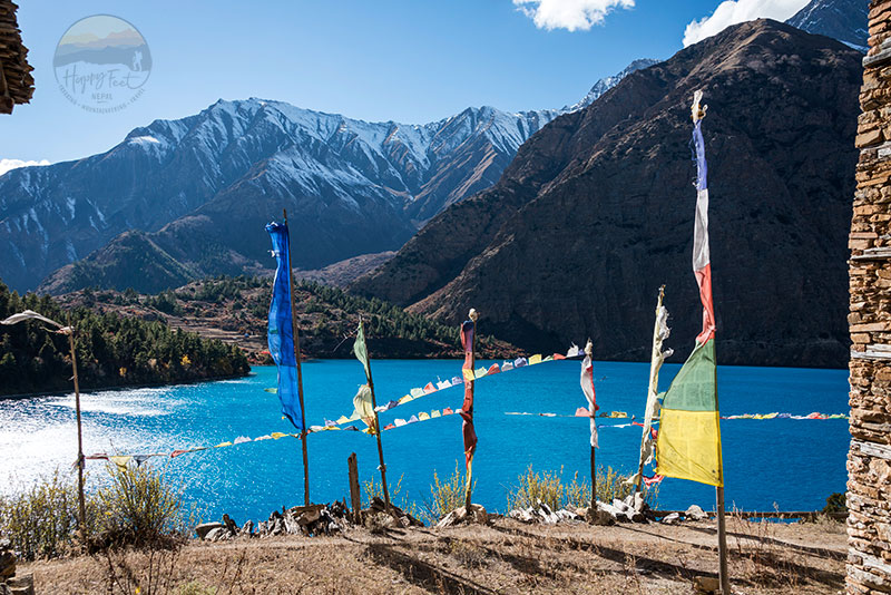
Experience the Beauty of Phoksundo in Dolpo
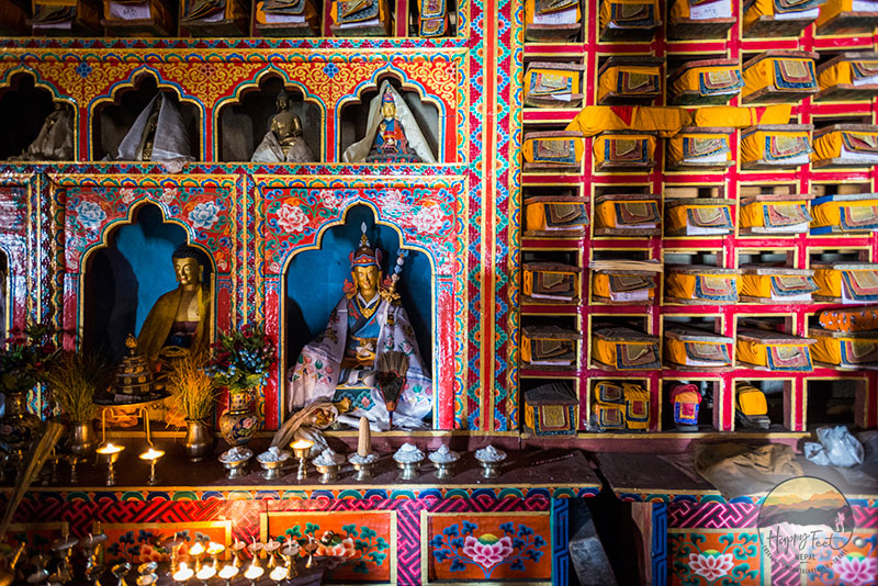
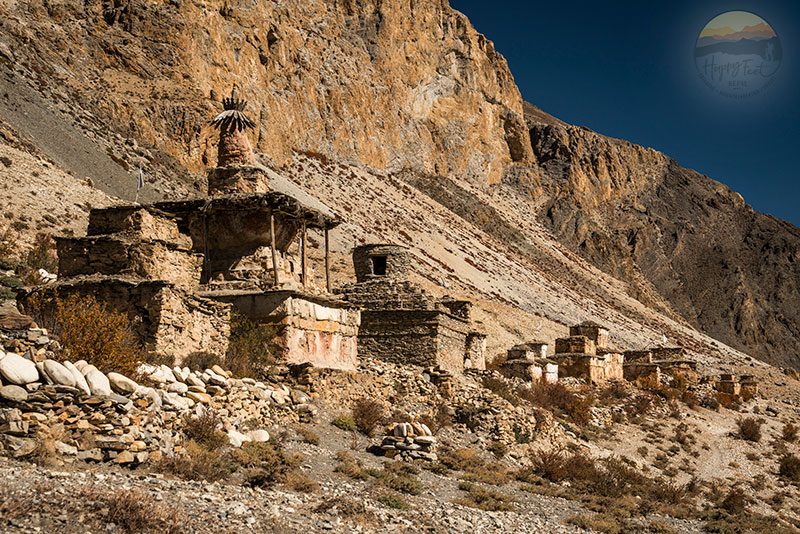
One of the highlights of the trek is pristine Phoksundo Lake, one of the highest freshwater lakes in the world. After spending two nights around the Lake, the walk continues through a centuries-old caravan trail through a cliff high above the Lake and crosses Kang La Pass to reach the fabled Shey Gompa. The She monastery is one of the most revered and oldest, containing timeless holy books and scrolls.
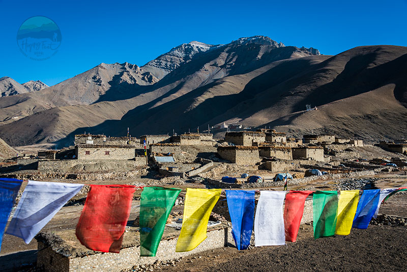
Exploring Inner Dolpo
Spending a memorable time around Shey Gompa, the walk continues to Saldang, Khoma, and Tinkyu, among some of the important villages of the Inner Dolpo region, and reaches Chharka to cross into the Kali Gandaki zone of Mustang district.
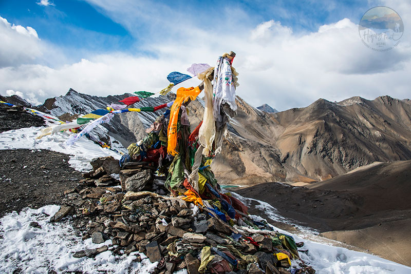
The Grand Finale of Upper Dolpo Trek
The adventurous and exploratory walking into Upper Dolpo ends at Jomsom after crossing the highest pass of the trek, the Sangda La, 5,460 metres above sea level. Jomsom is the gateway to the famed Upper Mustang Trek and the ending point for the Around Dhaulagiri Trek and Annapurna Circuit Treks, amongst others.
Upper Dolpo Post-Trek Options
From Jomsom, you can choose to take a short flight to Pokhara and a connection flight/drive to Kathmandu, extend the trekking further south through the Kali Gandaki gorge, the deepest gorge on earth, and reach Pokhara via Ghorepani-Poonhill trekking trail or drive to Pokhara via Tatopani to Beni.
Wildlife enthusiasts may spot rare species like snow blue sheep, wild Yaks and snow leopards along the trail. The Upper Dolpo Trek is unique in all terms and promises adventure and the beauties of the Himalayas. A visit to Upper Dolpo is not only an adventure and trekking but also a profound connection with nature, culture, and its people.